LiDAR MAPPING
CartSolution is one-window solution for LiDAR processing. Over the 10 years, we have gained a substantial amount of ability in the entire spectrum of LiDAR data processing with seasoned staff. Incorporating industry-standard processing techniques, extraction and mapping of various objects (buildings, trees, power cables, etc.). Digital Models of Topographic surfaces: Digital Surface Model (DSM), Digital Elevation Model (DEM), Normalized Digital Surface Model, Object based land-cover classification and more.
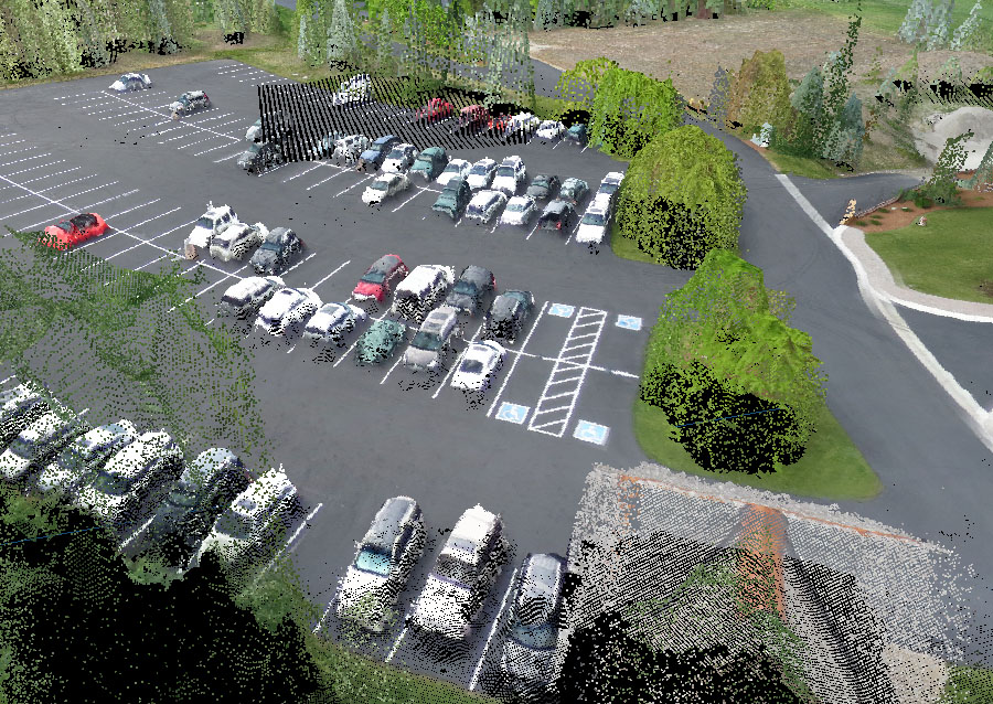
CartoSolution offers a wide range of LiDAR data processing services, from Digital Elevation Models or contour lines, to advanced geospatial analysis and client/project based LiDAR mapping solutions. We are keep devloping custom tools and GIS/RS innovations / process to offer the letest solution to our clients. We have keep doveloping a custom Lidar Mapping production workflow which comply to the USGS Lidar core Guidelines.
Our process include
- Minimizing noise from lidar
- point cloud classification
- Generation of DTM/DSM
- Feature extraction
- Registration of imagery with lidar
- RGB LiDAR
APPLICATIONS FOR AERIAL born LIDAR:
- Digital Terrain Model
- Digital Surface Model
- Clutter/Land Use Model
- Clutter Height Model
- Otrhoimage
- Low Poly 3D City Modeling
- 2.5D/3D Modeling
- Flood-plain Modeling
- Coastal Erosion Mapping
- Airport Facilities Mapping
- Land Use Mapping (LIS)
- Volumetric Studies (Cut and Fill)
- Rail Road corridor
- pre/Post-Disaster Management
- Engineering Applications
- Sub-Urban Planning
- Peak Sunlight Hours on Roofs
- Forestry (Micro-Topography)
2D/3D POWER LINE NETWORK Mapping
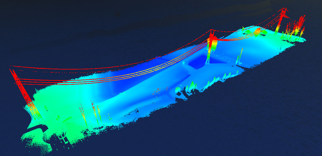
The majestic alliance of LiDAR data and ground survey data permit us to provide next leval utility mapping services, while keeping the project cost well under control the costs of conventional electrical grid/distribution mapping, network maintenance and service calls.

LIDAR BASE SPECIFICATION
Maybe more than other remote sensing advancements, lidar gathering cloud points are exceedingly reliant on the earth of the studied area. Landscape, land use, vegetative spread, level of urbanization, and various extra factors can manage diverse flight envelopes, instrument settings, information thickness, swath overlap, and a lot more parameters from venture to extend. Despite the fact that these varieties must be acknowledged, this segment characterizes various accumulation prerequisites that must be met to accomplish the reliable lidar gathering.
Railway Coridoor
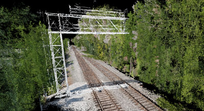
In Past old railway track survey techneque where used to measure diffrent elements of rail track, the electrick wire and the rail base on the opposing side was and is labor intensive, time consuming and data never deleiver on time. The LiDAR mobile mapping makes workflow faster, accurate and cost efective. In comparison to conventional survey approach, Lidar data procurement take less time, minimizing the interruption of rail movement, measurements are periodic, and are effortlessly select by the system engineer.
HYDRO-FLATTENING
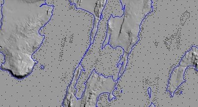
Hydro flattening comprise select lakes and streems z values to remove “bad noise” values. The determination of watershed modelling study requre the water bodies (lakes) to be a lower elevation than the streems flowing into the lakes so model create accurate flow direction. In the case of rivers its is not possible or correct to assign a single elevation value so it is important to fetch from lagecy data and dem.